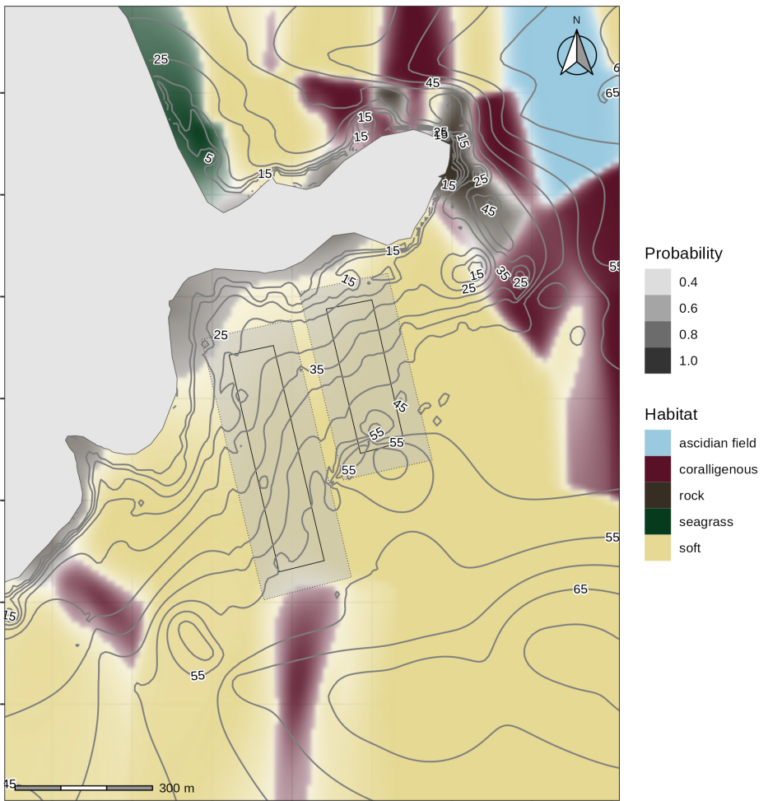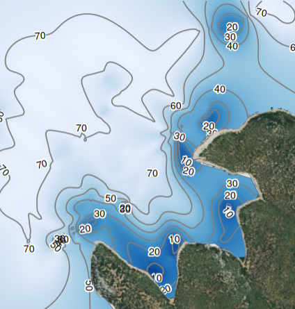
Habitat types in the seabed and bathymetry are two crucial factors concerning the operation of aquaculture. There are several international and national legislations concerning the protection of vulnerable habitats in the Mediterranean such as Posidonia oceanica meadows and calcareous algae formations. Habitat mapping of the designated area is a legal requirement prior to the installation of an aquaculture unit or any other technical project in the coastal zone. Bathymetric surveys are also imperative to the installation of a fish farm as they provide essential information concerning technical (e.g. anchoring), operational (e.g. water circulation, particle diffusion) and legal (e.g. minimum allowed depth) aspects.
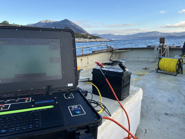
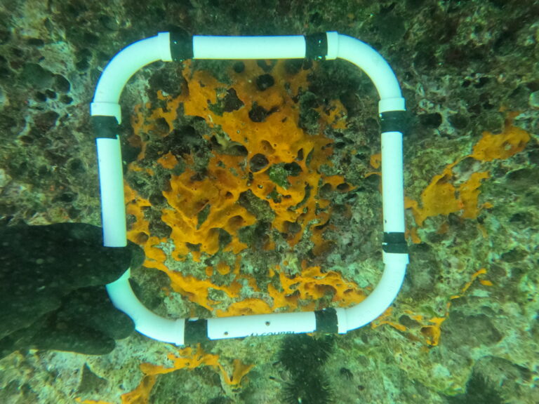
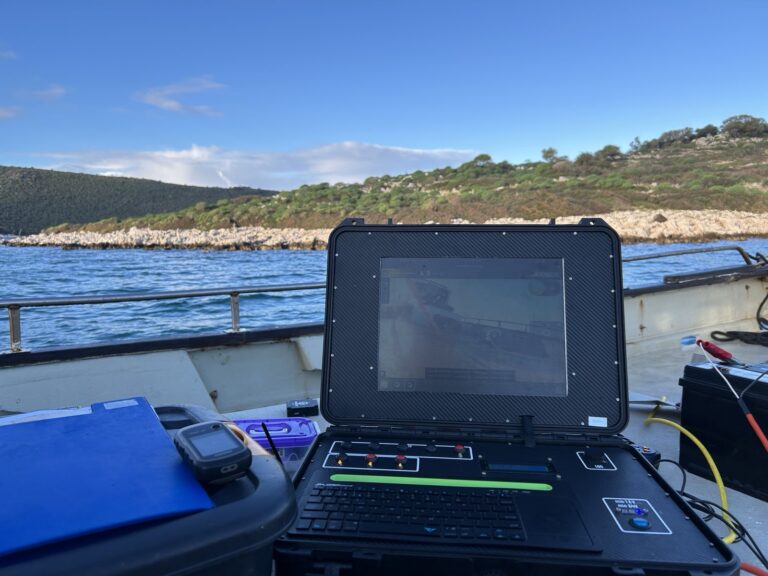
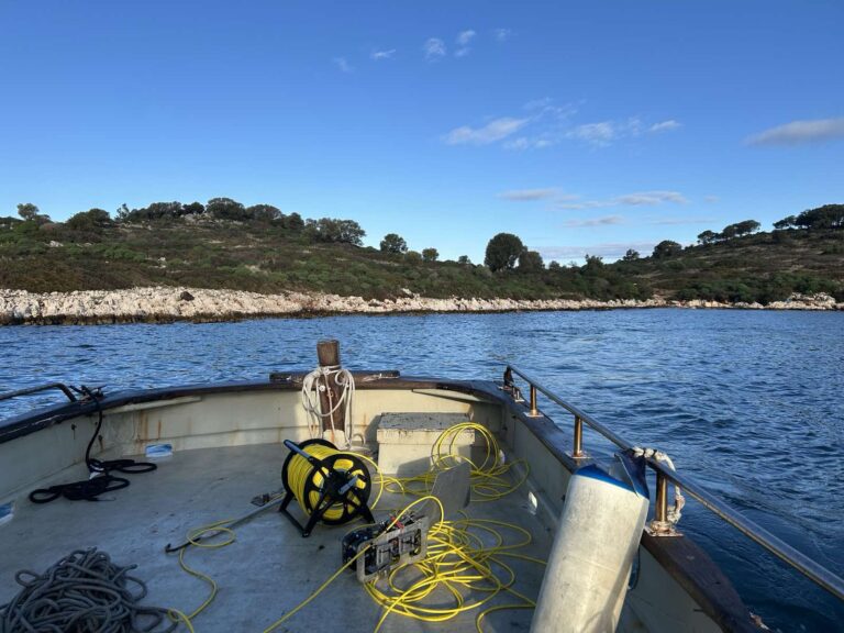
Our research group performs bathymetric and habitat classification coastal surveys, especially adjusted to the needs of the aquaculture sector, according to the international and national legislation standards. The multidisciplinary team combines the expertise of marine engineers, marine biologists and marine geologists in order to provide the best possible description of the study area. The team is highly trained and experienced in acquiring all necessary data from the field through different techniques and equipment such as single beam echo sounders for bathymetry and habitat classification, georeferenced video camera and scuba diving.